Agriculture & Land Management
Drone Services in Middle Georgia
Get a clear view of your land without burning time or fuel. Our agriculture and land management drone services deliver fast, accurate aerial insight to help you monitor property conditions, manage resources, and respond quickly when something changes. Guardian Drone Solutions LLC supports landowners across Middle Georgia with reliable, mission-ready data from above.

Aerial Intelligence for
Working Land
Drone-based land management replaces guesswork with visual confirmation. We capture high-resolution aerial imagery to document conditions, identify issues, and support better decisions across large or hard-to-reach properties.
Property and acreage documentation
Fence line and boundary monitoring
Drainage and erosion identification
Pasture and field condition checks
Access road and trail assessments
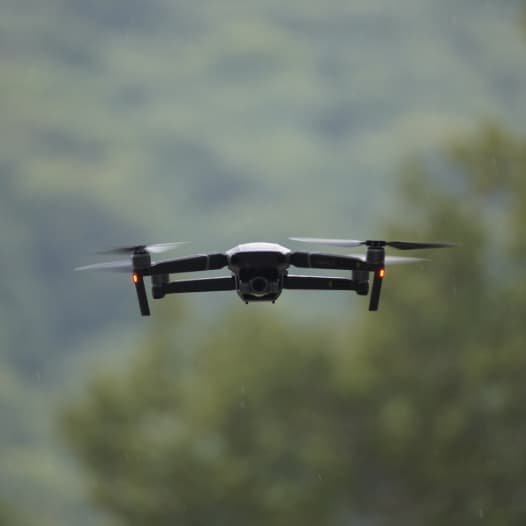
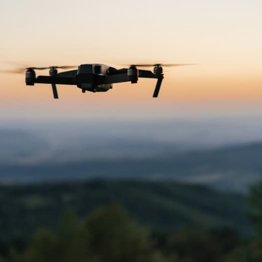
All flights are performed by FAA-certified pilots using commercial-grade equipment built for rural environments.
Thermal Support for
Livestock and Recovery
When time matters, thermal imaging gives you an edge. Our thermal-equipped drones locate heat signatures across wide areas—day or night—without disturbing animals or damaging terrain.
Lost or injured livestock location
Wildlife and predator identification
Nighttime and low-visibility searches
Large acreage coverage in minutes
Reduced manpower and stress on animals
Thermal operations can be combined with daylight aerial imaging for complete documentation.
Land, Livestock, and Field Operations in Action
Our portfolio reflects real agricultural use cases—working land, active recovery efforts, and practical documentation that supports day-to-day operations.
Flexible Land Management Service Packages
We build agriculture and land management packages around how landowners actually operate. Services scale from single-property checks to recurring documentation.
Aerial photo and video capture
Thermal imaging when required
Marked areas of concern
Digital maps and visuals
Fast turnaround delivery
These packages work well for ongoing land management, seasonal checks, and incident response.
Who Our Agriculture
& Land Services Are For
Drone-based land management provides the most value where size, terrain, or visibility slows traditional methods.
Farmers and ranchers
Large-acreage landowners
Timber and hunting property managers
Agricultural operations and co-ops
Rural property investors
If walking or driving the entire property isn’t practical, drones make it manageable.
Reliable, Legal, and Field-Tested
Guardian Drone Solutions LLC is a licensed, insured, veteran-owned operation with FAA-certified pilots and professional-grade drones. We operate legally, deploy quickly, and deliver dependable aerial and thermal data built for real agricultural environments—not hobby flights.
Service Areas
*Not Seeing your service area? Contact us!*
Services
Learn More
Professional Drone Services for Agriculture & Land Management in Georgia
Managing land without clear visibility leads to wasted time, missed problems, and costly decisions. Whether you oversee farmland, timber, pasture, hunting property, or undeveloped acreage, you need accurate information—not guesswork. Guardian Drone Solutions LLC provides professional agriculture and land management drone services that deliver clear data, actionable visuals, and reliable documentation across Middle Georgia.
We support landowners, farmers, ranchers, developers, and agricultural operations with FAA-certified, licensed, and insured drone services designed for efficiency, safety, and precision.
Why Drone Technology Matters for Land Management
Large properties are difficult to manage from the ground. Walking acreage takes time. Traditional aerial surveys cost more and deliver less flexibility. Drone-based imaging changes how landowners understand and manage their property.
Common Agriculture and Land Management Challenges
Unclear property boundaries
Drainage and erosion issues
Fence line damage or encroachment
Lost or displaced livestock
Poor visibility across large acreage
Crop and pasture health concerns
Inefficient land use planning
Drone data provides clarity across the entire property—quickly and safely.
Agriculture & Land Management Drone Services
Guardian Drone Solutions delivers purpose-built drone services that support real-world land use, not just pretty pictures.
Aerial Property and Acreage Documentation
High-resolution aerial imagery provides a complete overhead view of your land, making it easier to understand layout, access, and usage.
Ideal for:
Farms and ranches
Timberland
Recreational and hunting land
Large residential tracts
Undeveloped property
These visuals support planning, sales, leasing, and long-term management.
Drainage, Irrigation, and Erosion Mapping
Water problems quietly destroy land value. Drone imagery reveals drainage patterns, low points, runoff paths, and erosion areas that are difficult to see from the ground.
Use cases include:
Identifying standing water issues
Planning drainage improvements
Evaluating irrigation coverage
Preventing soil loss
Supporting conservation efforts
Clear visuals allow smarter land improvements.
Fence Line and Boundary Monitoring
Fence lines stretch for miles on rural properties. Drones make inspection faster and safer while documenting issues clearly.
We help identify:
Broken or downed fencing
Encroachment or access issues
Boundary clarity for disputes
Maintenance needs
This reduces labor time and improves property oversight.
Livestock Location and Recovery with Thermal Imaging
When animals go missing, time matters. Thermal drones detect heat signatures in low visibility conditions, allowing rapid coverage of large areas.
Thermal livestock services support:
Cattle recovery
Wildlife location
Night or low-light operations
Post-storm searches
This capability saves time, labor, and animals.
Crop and Pasture Monitoring
Aerial imagery provides insight into crop and pasture conditions before issues become severe.
Drone monitoring helps identify:
Uneven growth patterns
Stress areas
Grazing impact
Access and layout concerns
Early awareness supports better management decisions.
Land Planning, Development, and Sales Support
Drone imagery improves communication with buyers, planners, contractors, and stakeholders.
Common applications include:
Pre-development planning
Acreage listings and marketing
Investor presentations
Long-term land use documentation
Clear visuals help others understand the property without stepping foot on it.
Why Use Drones for Agriculture and Land Oversight
Drone-based land services outperform traditional methods in speed, safety, and coverage.
Key Benefits
Cover hundreds of acres quickly
Reduce labor and fuel costs
Access remote or difficult terrain
Minimize disturbance to land and livestock
Capture accurate, repeatable documentation
Improve decision-making with visual evidence
You gain visibility without unnecessary risk or expense.
Our Land Management Process
We keep every mission focused and efficient.
Step 1: Property Review and Objectives
We discuss acreage size, terrain, and your specific goals—monitoring, recovery, documentation, or planning.
Step 2: On-Site Drone Operations
Our FAA-certified pilots deploy commercial-grade drones designed for stability, coverage, and data clarity.
Step 3: Data Delivery
You receive high-quality imagery and visual assets ready for review, planning, or sharing with contractors and partners.
Who Uses Our Agriculture & Land Services
Guardian Drone Solutions works with:
Farmers and ranchers
Timber and landowners
Agricultural managers
Hunting and recreational property owners
Developers and investors
Conservation and land planning groups
If land matters to your operation, accurate visibility matters too.
Why Guardian Drone Solutions
Rural land requires reliable operators who understand real conditions—not hobby pilots.
What Sets Us Apart
FAA-certified, licensed, and insured operations
Veteran-owned, locally operated company
Commercial-grade aerial and thermal drones
Rapid local deployment
Clear, usable deliverables
Mission-focused execution
We operate with precision because land decisions carry long-term consequences.
Serving Agriculture and Landowners Across Middle Georgia
Guardian Drone Solutions LLC proudly supports agricultural and land management needs throughout Middle Georgia and surrounding areas. We understand rural terrain, working land, and the importance of dependable service.
Schedule Agriculture & Land Management Drone Services
If you need a clearer view of your land, drones provide answers faster and safer than traditional methods.
Guardian Drone Solutions LLC delivers professional agriculture and land management drone services built for clarity, efficiency, and results.
Phone: 478-744-1530
Email: missions@gdsops.com
Manage smarter. See more. Act with confidence.