Drone Mapping & Surveying
Services in Middle Georgia
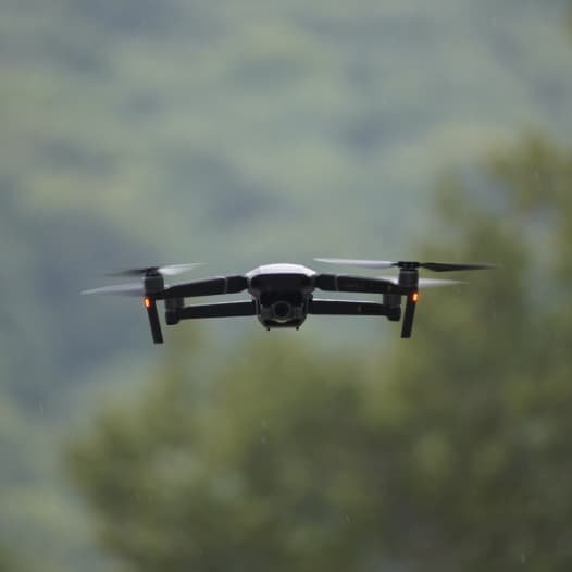
Accurate data starts with the right perspective. Our drone mapping and surveying services deliver precise, high-resolution spatial data to support planning, development, and land decisions—without the delays of traditional methods. Guardian Drone Solutions LLC provides fast, dependable mapping solutions across Middle Georgia using commercial-grade platforms built for accuracy.

Precision Mapping From the Air
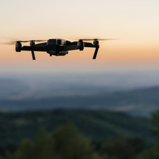
Drone-based mapping captures detailed, measurable data across large areas in a fraction of the time. We deploy enterprise mapping drones to document terrain, structures, and land features with repeatable accuracy.
Orthomosaic mapping
Topographic and contour mapping
Acreage and boundary calculations
Site and land documentation
Pre-development data capture
All flights are conducted by FAA-certified pilots using professional mapping workflows.
Actionable Survey-Grade Deliverables
Mapping is only useful if the data supports real decisions. We focus on clean outputs that integrate easily into planning, design, and reporting workflows.
High-resolution georeferenced maps
Clear elevation and terrain data
Consistent measurements across sites
Reduced field time and labor
Faster turnaround for project planning
Optional 3D models and volumetric measurements are available when needed.
Mapping Projects in Practice
Our portfolio highlights real-world mapping and surveying applications—from rural acreage to active development sites—focused on clarity, accuracy, and usable results.
Flexible Mapping &
Surveying Packages
We tailor mapping packages to the scope and scale of each project. Whether documenting land once or tracking changes over time, our deliverables stay consistent and reliable.
Orthomosaic map creation
Topographic and contour outputs
Digital data delivery
Optional 3D modeling
Fast project turnaround
These packages are ideal for planning, documentation, and ongoing site monitoring.
Who Our Mapping & Surveying Services Are For
Drone mapping provides the most value when size, access, or time constraints limit traditional surveys.
Landowners and developers
Construction and engineering teams
Agricultural and rural properties
Commercial site planners
Municipal and utility projects
If you need accurate land data without delays, drone mapping delivers.
Professional, Compliant, and Accurate
Guardian Drone Solutions LLC operates as a licensed, insured, veteran-owned provider with FAA-certified pilots and commercial-grade mapping equipment. We follow compliant flight operations, proven data workflows, and consistent quality standards—so your mapping data is reliable, defensible, and ready to use.
Service Areas
*Not Seeing your service area? Contact us!*
Services
Learn More
Professional Drone Mapping & Surveying Services in Georgia
Good decisions start with accurate data. When land boundaries, elevations, volumes, or layouts are unclear, projects slow down, costs increase, and mistakes compound. Guardian Drone Solutions LLC provides professional drone mapping and surveying services that deliver high-accuracy visuals and measurements—faster, safer, and more efficiently than traditional methods.
We serve landowners, developers, contractors, engineers, and commercial clients across Middle Georgia with FAA-certified, licensed, and insured drone operations built for precision and reliability.
Why Drone Mapping & Surveying Matters
Outdated maps, rough estimates, and manual measurements leave room for error. Drone-based mapping captures detailed, repeatable data that gives you a clear understanding of the land before work begins—and as it progresses.
Common Mapping & Surveying Challenges
Inaccurate acreage calculations
Limited visibility of terrain and elevation changes
Slow, labor-intensive ground surveys
Safety risks in rough or remote areas
Poor documentation for planning or disputes
Lack of updated site data
Drone mapping replaces assumptions with measurable facts.
Mapping & Surveying Drone Services We Provide
Guardian Drone Solutions delivers mapping services designed for real-world planning, development, and land management needs.
Orthomosaic Mapping
Orthomosaic maps stitch hundreds of aerial images into a single, high-resolution, scale-accurate map.
Used for:
Property and acreage documentation
Construction planning
Land development
Agricultural planning
Boundary visualization
These maps provide a true overhead view you can measure and reference with confidence.
Topographic and Contour Mapping
Understanding elevation changes is critical for drainage, construction, and land use planning.
Topographic mapping supports:
Site planning and grading
Drainage and runoff analysis
Road and access planning
Erosion control
Engineering support
Contour data reveals how the land actually behaves—not just how it looks.
3D Models and Digital Twins
3D site models create an interactive representation of terrain, structures, and features.
Ideal for:
Development planning
Stakeholder presentations
Progress tracking
Visualization for remote teams
Digital twins help teams align before equipment ever hits the ground.
Volumetric Measurements
Drone mapping provides accurate volume calculations for materials and earthwork.
Common applications include:
Stockpile measurements
Earthmoving and excavation tracking
Fill and removal estimates
Construction progress verification
This reduces disputes and improves cost control.
Precision Acreage Calculations
Accurate acreage matters for sales, leases, taxes, and planning.
Drone-based calculations help with:
Land sales and listings
Agricultural planning
Timber and pasture management
Development feasibility
Clear numbers remove uncertainty.
Why Use Drones for Mapping & Surveying
Traditional survey methods take time and often expose crews to unnecessary risk. Drone mapping improves speed, safety, and coverage.
Key Benefits of Drone Mapping
Rapid data collection
Access to difficult or hazardous terrain
Reduced labor and equipment costs
High-resolution, repeatable data
Improved planning accuracy
Clear documentation for records and disputes
You get better data in less time.
Our Mapping & Surveying Process
We operate with structure, accuracy, and efficiency.
Step 1: Project Review and Objectives
We define the scope, accuracy needs, and intended use of the data to ensure proper capture methods.
Step 2: Drone Data Collection
Our FAA-certified pilots fly commercial-grade mapping platforms designed for consistent overlap and precision capture.
Step 3: Data Processing and Delivery
We deliver processed maps, models, and measurements ready for planning, review, or integration into your workflow.
Who Uses Our Mapping & Surveying Services
Guardian Drone Solutions works with:
Landowners and developers
Construction and excavation companies
Engineers and planners
Agricultural operations
Timber and land managers
Commercial property owners
Municipal and local projects
If land data affects your decisions, accuracy matters.
Why Guardian Drone Solutions
Mapping requires more than flying a drone—it requires planning, precision, and disciplined execution.
What Sets Us Apart
FAA-certified, licensed, and insured operations
Veteran-owned, locally operated company
Commercial-grade mapping platforms
Precision-focused flight planning
Clear, usable deliverables
Mission-focused execution
We provide data you can trust.
Serving Mapping & Surveying Needs Across Middle Georgia
Guardian Drone Solutions LLC proudly provides drone mapping and surveying services throughout Middle Georgia and surrounding areas. We understand local terrain, rural properties, and development challenges—and we deliver data that supports confident decisions.
Schedule Drone Mapping & Surveying Services
If your project depends on accurate land data, drone mapping delivers clarity faster and safer than traditional methods.
Guardian Drone Solutions LLC provides professional mapping and surveying services built for precision, efficiency, and real-world results.
Phone: 478-744-1530
Email: missions@gdsops.com
Measure with confidence. Plan with clarity. Execute smarter.